An Introduction to Marine Weather
San Francisco Bay is one of the premier sailing areas in the world. What is it that makes the area special?
Easy! The weather. Year round mild conditions allow sailing nearly every day throughout the year. And, consistent 25 to 30 knot winds pretty much every day from May to October have led to a cliché that if you can sail on San Francisco Bay, you can sail anywhere.
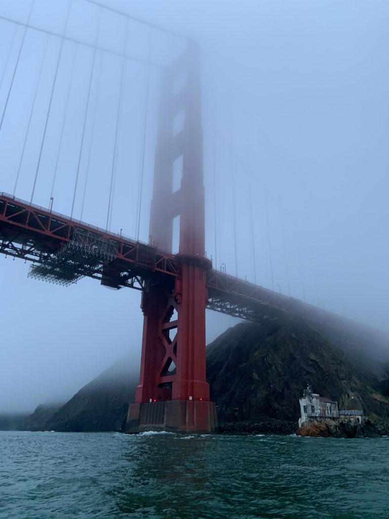
The down side? Fog. Interestingly, both conditions are related, and probably would not exist without the other.
It All Starts With:
- A high pressure area and a low pressure area and the wind they produce
- The impact of wind on water
- Something called the coriolis effect
- And, finally, the dew point
Add in a mountain range with a single major opening (the Golden Gate) and you have what is arguably the finest sailing in the world!
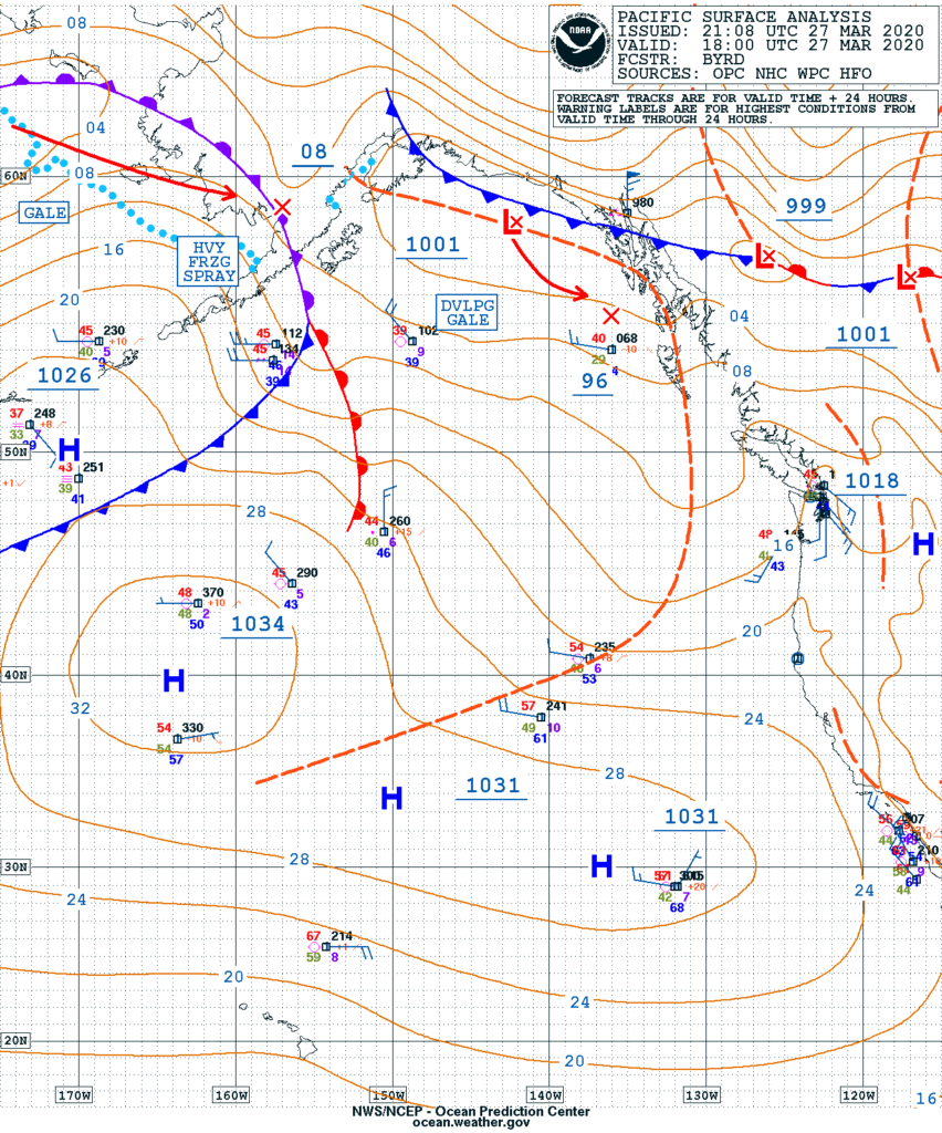
The Wind
High Pressure to Low Pressure
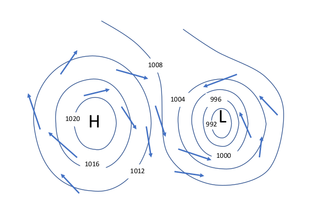
Now, visualize that the high pressure is centered over the Pacific Ocean off of San Francisco, and the low pressure over Nevada. San Francisco sits pretty much right in the middle of the two. The resulting wind comes from the north or northwest.
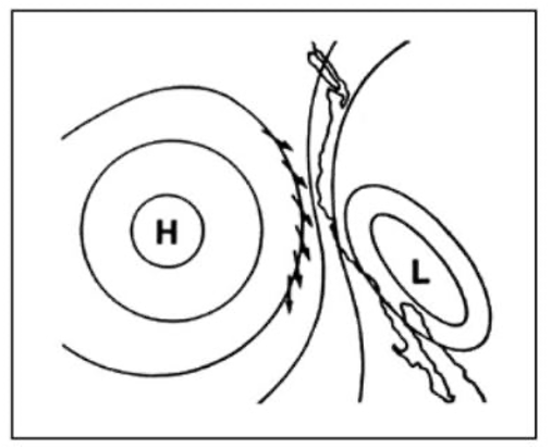
The high pressure air is going to try to fill in the low pressure area, however, the Coast Range of mountains creates a pretty effective barrier. The number one opening through that barrier … The Golden Gate.
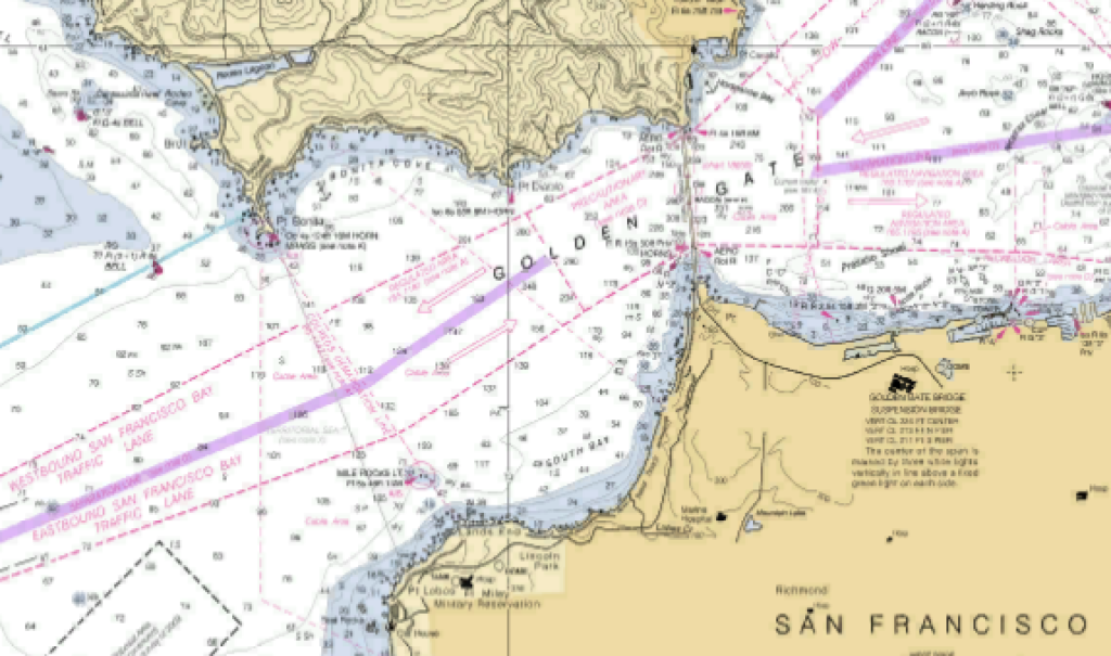
The Golden Gate
- 2 miles wide at its western opening
- Nearly 2.5 miles long
- 1 mile wide at the entrance into the bay
Oriented from the Southwest to the Northeast, it is the perfect “funnel” to direct and concentrate the wind moving from high into low. From a large area of the Pacific to a small bay.
The Fog
As can be seen in the high/low pressure image, the wind direction off the coast of California is generally north to south.
Steady wind creates current in the water that it passes over. The resulting current in the top few feet of water may be moving to the south with the wind, however, below the surface, the coriolis effect turns that movement to the right about 90 degrees, so that it is moving to the west, away from the coast. The water moving to the west is replaced by very cold water from the depths of the Pacific Ocean.
The air moving across the water is warmer than the water, so, the air gets cooler. When the temperature drops to the level of something called the dew point, moisture in it condenses into fog.
This fog continues to move with the wind and in turn gets “sucked” into the bay resulting in the wind and fog San Francisco is famous for.
This will open up a never ending debate probably but what is your favorite wind and weather prediction app for the Bay? I’ve been using a combination of the weather service hourly point forecast , PredictWind and SailFlow. I’ve found that the PWE and PGF models for PredictWind tend to be higher than the other two but not always more accurate.
Don,
Excellent as always.
You describe the synoptic patters, but in the summer, doesn’t the thermal low in the Central Valley play a role?
Pingback: More on Why San Francisco Bay Is A Special Place to Sail | Tradewinds Sailing Blog