Sailing School
Coastal Navigation (CON - ASA 105)
Prerequisites
None.
Schedule
This course is taught over a three day period, 6pm-9pm the first evening and 9am to 5pm on days two and three, typically on a Friday through Sunday.
Description
Knowing where you are, determining the best way to get where you want to go and doing so safely is what Coastal Navigation is all about.
Tradewinds offers either a classroom environment or a learn-on-your-own format. The classroom environment provides an opportunity to ask questions, work with other students and get through the material in a weekend (no chance to procrastinate!). |
 |
If you yearn to go offshore in coastal waters in California or some other exotic location, coastal navigation skills are essential. In this course, you will learn about the publications needed, tools and how to use them and methods for:

|
- Reading and interpreting nautical charts and Aids to Navigation
- Plotting and communicating your position using Latitude and Longitude
- How to determine Departure Time or Estimated Time of Arrival using Time, Speed and Distance calculations
- Observations to plot bearings and fixes
- Determination of and correction for Set and Drift
- How to use Tide and Current Tables
|

|
There is no “Sailing Skills” element to the ASA Coastal Navigation Standard (review this link for a complete listing of knowledge skills). Practical application of this material is reinforced in our Advanced Coastal Cruising course. Multimedia lecture and practical hands-on exercises are conducted during 20 hours of class time and augmented by homework. Students successfully completing this course can receive ASA certification.
Materials provided include a textbook, DVD and training nautical chart.
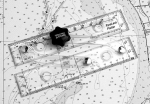
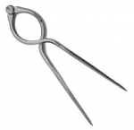
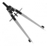
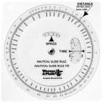
Instructor Recommended Tools:
Instructor Tip: Did you know that maintaining a cruising log and updating nautical charts may be an important legal concern? Learn more about this in class!
When You Complete this Course
You are eligible to take ASA 106--Advanced Coastal Cruising and ASA 120--Radar
|


